Vision Zero
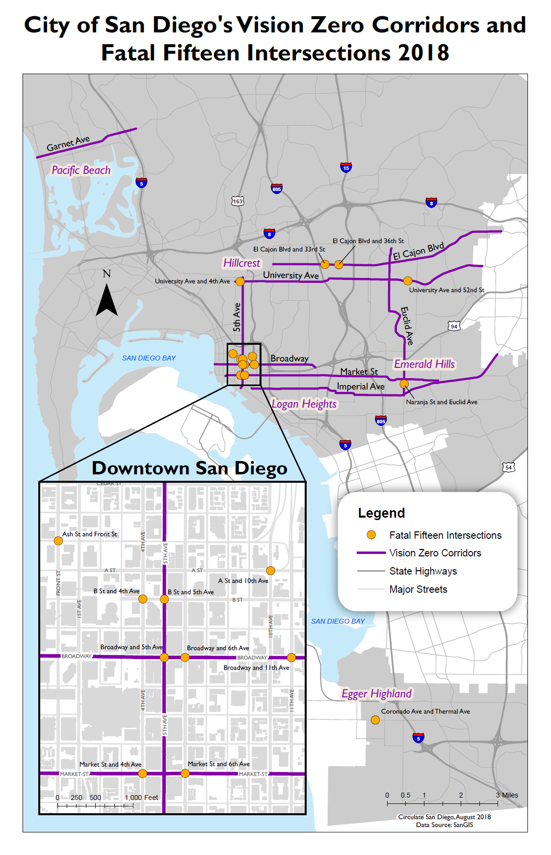
Vision Zero 2018 Map
This map highlights the most dangerous streets and 15 intersections with traffic-related deaths in the City of San Diego. It was used in Circulate’s Vision Zero policy reports and community outreach materials.
This was created when I was just starting my GIS courses, so the cartography could be improved. Considerations were still given about the color palette. One project coordinator told me that community members have remarked on previous maps produced by Circulate. Previous maps had roads in blue and community members would often ask if those blue roads were rivers. I also wanted to avoid any colors that could be seen as political such as blue and red. That’s why I settled on gold and purple for the colors.
This map was created in ArcMap Desktop and finished in Adobe Illustrator CS6.
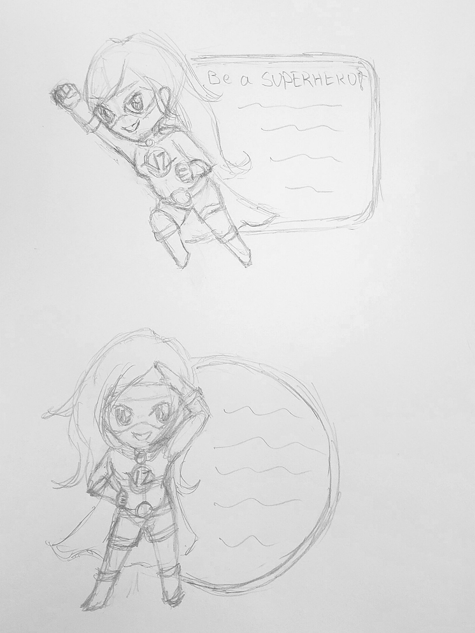
Captain VZ Sticker
A sticker handed out to kids to remind them how to cross a street safely. The large sticker was meant to be used on water bottles or notebooks. The mascot, Captain VZ, was created along with a comic book by Circulate San Diego to help talk about pedestrian and bike safety. The comic book was given out to grade school students as a fun way to teach pedestrian safety.
The sticker started with an initial sketch of Circulate’s superhero character, Captain VZ. To try and minimize any discrepancies between screen color and print color, I used a Pantone color book to match the colors. Unfortunately, the ending printer quality didn’t match the Pantone colors I chose.
Originally, the sticker was supposed to be die-cut, but the project coordinator wanted to maximize quantity with the project budget, so we ended up with square stickers with a lot of white space. In the end, the print quality ended up being lower quality than I originally envisioned, but the staff and I were all new to the sticker printing process.
The initial sketches were done in pencil, then digitally painted in Adobe Photoshop CC, and text was added in Adobe Illustrator CC.